Sunday, October 17, 2010

Preliminary planning

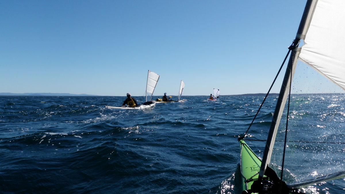
The intent for this kayak trip was to explore the far-south coast of New South Wales, from Bermagui to Pambula over 5 enjoyable days and with the guidance of a local kayaker who knows the place pretty well.

The Initial trip planning took place over a few schooners within the sandstone walls of the Lord Nelson. A great place to begin any adventure.


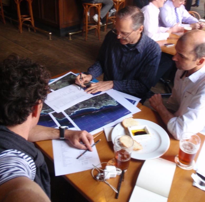
Planning the adventure is always a great part of the enjoyment of any expedition.

Sadly, however, it was not long after this little gathering that we received the tragic news that the wife of a dear friend of ours had suddenly died while travelling in France. Our plans for the far south coast were shelved so that we could attend the memorial service scheduled for the same weekend as our trip.

Keenly reminded once again of the fragility and impermanence of life we decided to make the most of the time still available to us, so the day following the service we took off with our kayaks  to explore another beautiful place along the NSW south coast, but within closer striking distance - the Beecroft Peninsula of Jervis Bay.


This kayak trip is dedicated to the memory of Lisa Wilson - as we wandered through the Illawarra-Shoalhaven landscapes that framed her childhood.
Driving into the Booderee National Park at dawn.
At our feet: our clatter of colourful kayaks.
On the horizon: our destination for the next three days, the Beecroft Peninsula.


Tony in his Impex Force 4

Luke in his old faithful - Greenlander Pro.

The Mirages of Peter & Ross.

Travellers to the Beecroft Peninsula should make themselves well aware of the restrictions regarding access and camping upon Defense land. This place is a favourite location for kayakers to tuck into and set up discrete camp - however the area is patrolled by Navy helicopters and their zealous pilots.

On previous kayak trips at the Beecroft Peninsula we have circumnavigated the coastline of this stunning headland and observed its varied character from the unqiue position that perhaps only kayaks can afford. However on this occasion we were intent on observing more of the headland's character beyond the shoreline. So we wandered off in the vague direction of Point Perpendicular and into the peninsula's beautiful native landscape ... 


The perpendicular jointing of Point Perpendicular.
Bowen Island and the Bherwerre Peninsula beyond.


A midden that speaks of ten thousand shell fish meals and the people who made them - but have vanished.
The next day ...

We could see on the aerial photograph that Duck Creek looked like a place with some potential. The creek behind the beach seems to extend for a 1000m.


Heading out from the little sister creek at Bream Beach.


With a solid ground swell from the south-east it was apparent that a beach landing at Target Beach might be a little eventful. So we took a path between breaking bomboras and paddled around the corner to Silica Beach - which is well protected by a long reef.


Silica Beach.

Another extensive midden.

The last time that this abalone shell was touched by a human it was having the juices sucked out of it by an indigenous tribesperson standing upon a landscape where everything visible was derived from that landscape. There were no fibreglass kayaks beached on the shore, no steel battleships anchored in the bay and no fibro houses strung out along the distant shoreline.

From the landscape = of the landscape.

Please click on the link (located below) called "Older Posts" in order to access the rest of this blog ...